⌘ Tech
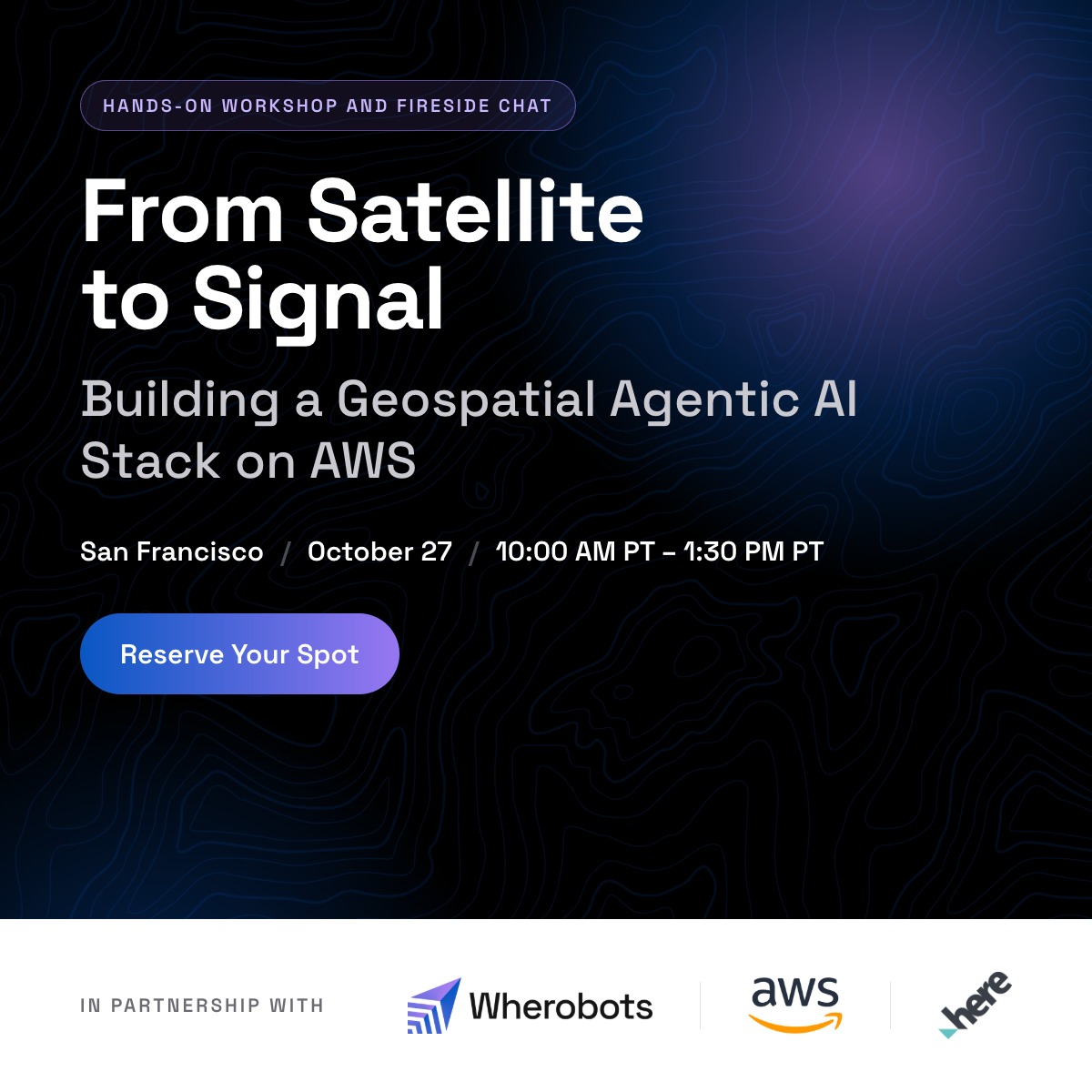
From Satellite to Signal: Building a Geospatial Agentic AI Stack on AWS and Wherobots
- When
- Tuesday, October 27 · 10:00 AM – 1:00 PM
- Listed by
- Lu.ma — Gen AI SF
A hands-on workshop with AWS and Wherobots, plus a fireside chat with HERE Technologies
Note: that this event is at an AWS facility and as such AWS requires all attendees register via their registration page to attend. Please do so in addition to signing up on this luma by filling out this form: events.builder.aws.com/nNlEnR
Agenda
10:00 to 10:30am: Doors open and check-in
10:30 to 11:00am: Fireside chat: Precise answers from probabilistic AI
11:00am to 12:30pm: Hands-on workshop
12:30 to 1:30pm: Lunch and networking
Fireside Chat: Precise Answers from Probabilistic AI
Ben Pruden, Head of Go-to-Market at Wherobots, and Hervé Utheza, Senior Director, AI & Emerging Technologies at HERE Technologies, on what it takes for AI to give exact answers about the physical world.
Large language models are probabilistic. Ask the same question twice and you get two different ballpark answers. Questions about the physical world, like which properties sit inside a flood zone or how many people live within a wildfire hazard area, need exact, repeatable results. Ben and Hervé discuss how AI agents get there by calling deterministic geospatial tools.
Workshop: Building a Geospatial Agentic AI Stack on AWS and Wherobots
Build an end-to-end agentic geospatial pipeline in a single day. Bring your laptop, leave with a working pattern for turning raw satellite imagery and weather data into interactive risk dashboards, driven by natural language at every stage.
This in-person workshop walks you through building an end-to-end geospatial AI pipeline. Raw satellite imagery and weather data go in, move through agentic data engineering and risk scoring, and come out as interactive map dashboards. You use natural language at every stage.
By the end of the workshop you will be able to:
Work with Amazon Kiro for AI coding to build and interact with Wherobots and AWS.Use the Wherobots MCP server as an agentic interface for exploring and processing geospatial data catalogsBuild a medallion data pipeline (Bronze, Silver, Gold) using spatial SQL, raster zonal statistics, and KNN spatial joins on WherobotsDB with Apache IcebergScore physical assets for natural hazard risk using wildfire, flood, and severe weather dataConnect Aurora PostgreSQL as a live data source to MapLibre as a visualization layer, so maps stay current as the underlying data changes
Who Should Attend
Data engineers, ML engineers, and solutions architects working with physical-world data. Geospatial teams evaluating how agentic workflows layer onto existing GIS infrastructure.
Sponsors
This event is made possible by our sponsors, who keep the Data for AI community running.
About Wherobots
Wherobots is the AI Context Engine for physical world data, built by the original creators of Apache Sedona. An AWS Partner, the platform enables planetary-scale spatial compute and Earth intelligence, letting developers build and scale AI workflows on physical-world data using the SQL and Python they already know. Learn more at wherobots.com.
Datastrato is the original creator of Apache Gravitino, the open-source metadata lake that puts tables, models, and files under a single catalog, lineage graph, and access layer. They are building the open data fabric platform to accelerate trusted AI, and host the Data for AI community. More at datastrato.ai.
About 9Zero:We’re a members-only community of founders, investors, scientists, and innovators accelerating climate solutions through meaningful relationships. Apply to join at www.9Zero.com
